Address
Litchfield Road Litchfield Park, Northern Territory, 0822
Turn off Litchfield Park Road at GPS -13.0728, 130.7002 and follow the road to the car park. This is suitable for tent camping only. This is only open during the dry season.
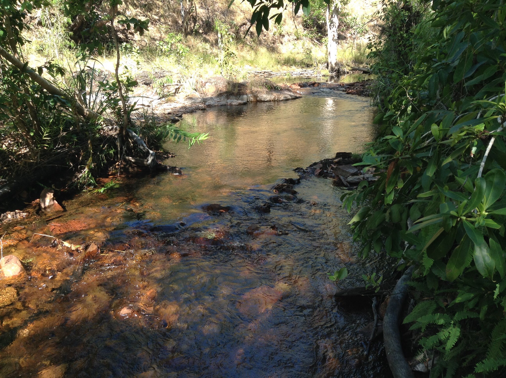
Walker Creek Trail in Litchfield National Park This creek flows out of the northern slopes of the Tabletop Range. A walk follows the creek up towards the secondary plateau for 1.8 kilometres. Eight camping sites have been established along the creek at suitable rock holes. A toilet is provided near campsite 6. Swimming is allowed at the campsites. Even if you are not camping this is a great walk with its many swimming spots along the creek. Camp fees apply when camping in this area. Batchelor to Walker Creek Ranger Station is 80 kms.
You can spend from 3 hrs to a full day here. Walker Creek walk: 1.8 km one way, 3.6 km return: 2 hours return; Moderate: Starting from the car park the walk follows the creek for 600 metres to the first camp site at Rocky Falls. Campsites at swimming holes have been established approx every 200 metres along the creek. A toilet is provided on the walk near Campsite 6. A day use area is established at campsite 6. You may use any of the swimming areas unless people are using the campsite-please respect their privacy.
This is one of those places that you normally hear about later from someone who says “did you go to this place, it was the best.” Well now you can be the one to say to fellow travellers down the track that you have been somewhere special. If you are not one of the lucky ones camping here you return to the car park. The picnic area at the car park is under the shade of the trees growing along the creek. A toilet is provided in the car park.